Summary
The recent release of the following detailed geology data contains a geodatabase of feature classes of structure, surface and solid rock unit layers, as well as shapefiles and MapInfo tab files. Symbology is represented in ESRI .lyr files and refers to the feature classes inside the geodatabase. Further details on updates in this release are listed below.
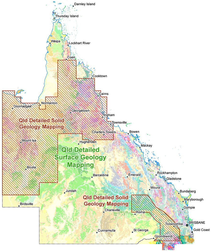
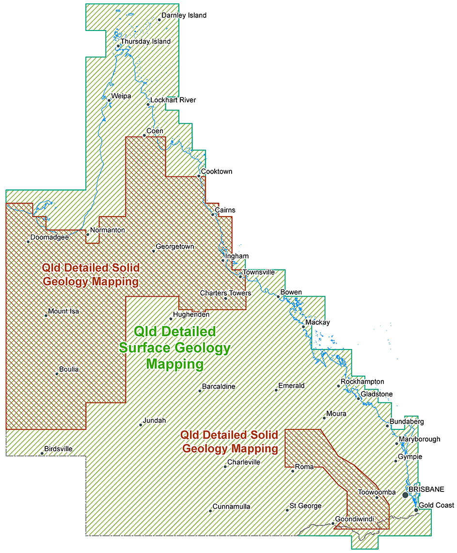
Detailed Surface and Solid Geology Data extents
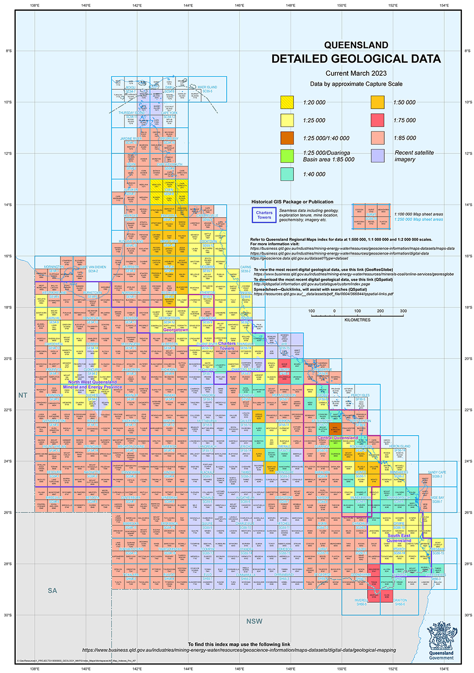
For more information please refer to the detailed geology data index.
State-wide Detailed Geology Data Capture Project
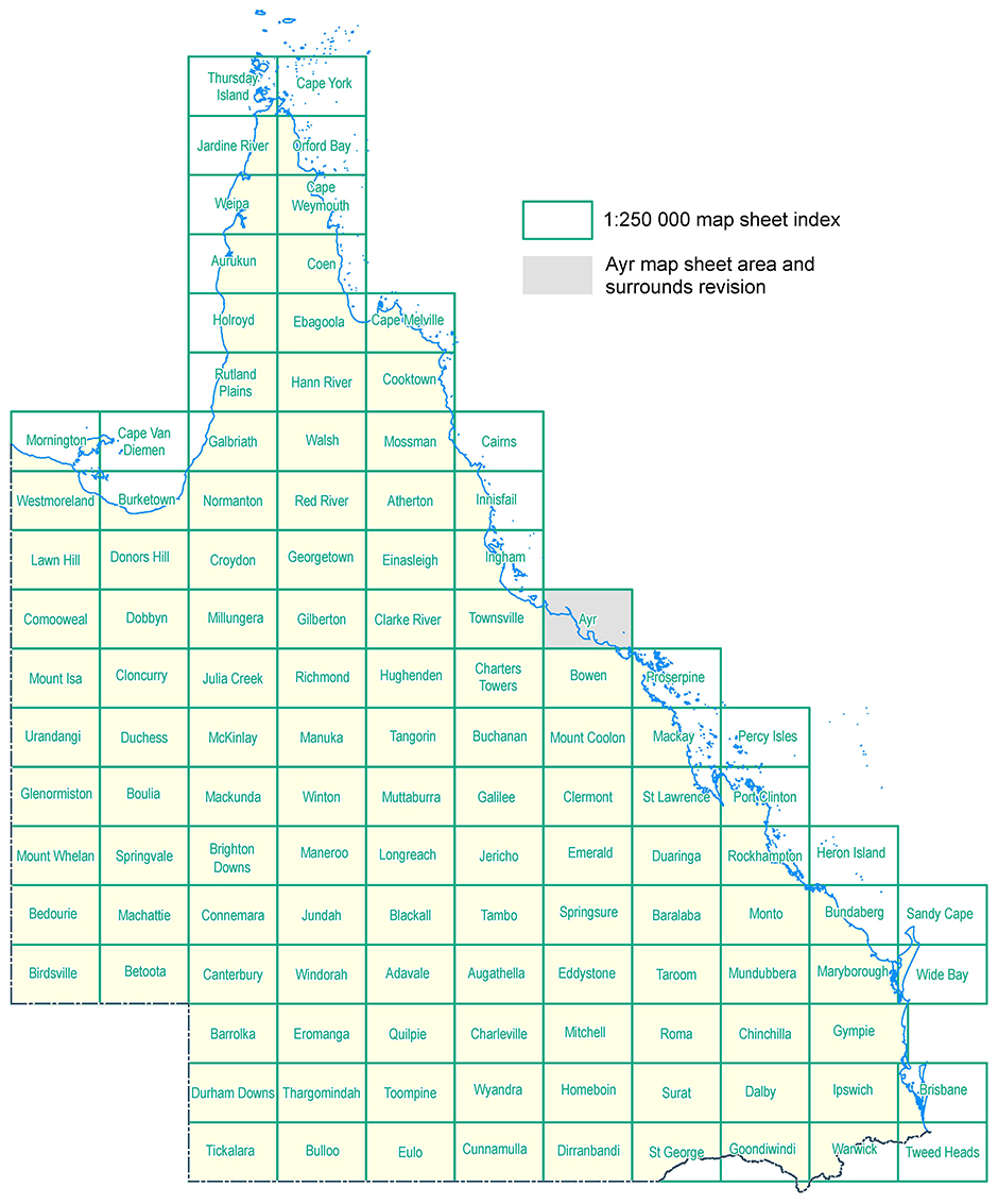
Ayr 1:250 000 map sheet area and surrounds revision
This revision of the geology of the Ayr 1:250 000 Sheet area and small parts of adjoining sheet areas is based mainly on high-resolution ESRI satellite imagery combined with relatively recent airborne geophysical surveys and the results of field work conducted 15–20 years ago, by the Geological Survey of Queensland and researchers at James Cook University. This release updates the reconnaissance-style mapping of the 1960s, with a focus on the joins with adjacent sheet areas. The geology of these areas was significantly updated by more detailed, second pass mapping by GSQ in the 1980s–1990s (Townsville) and 2000s (Bowen). Revision of the geology of the remaining parts of the Ayr 1:250 000 Sheet area is scheduled for inclusion in the next release of detailed geological data.
Revision 2022–2023 by R.J. Bultitude, Minerals Geoscience, Geological Survey of Queensland,
Department of Natural Resources and Mines, Manufacturing and Regional and Rural Development.
Revised line ID descriptions for data extents
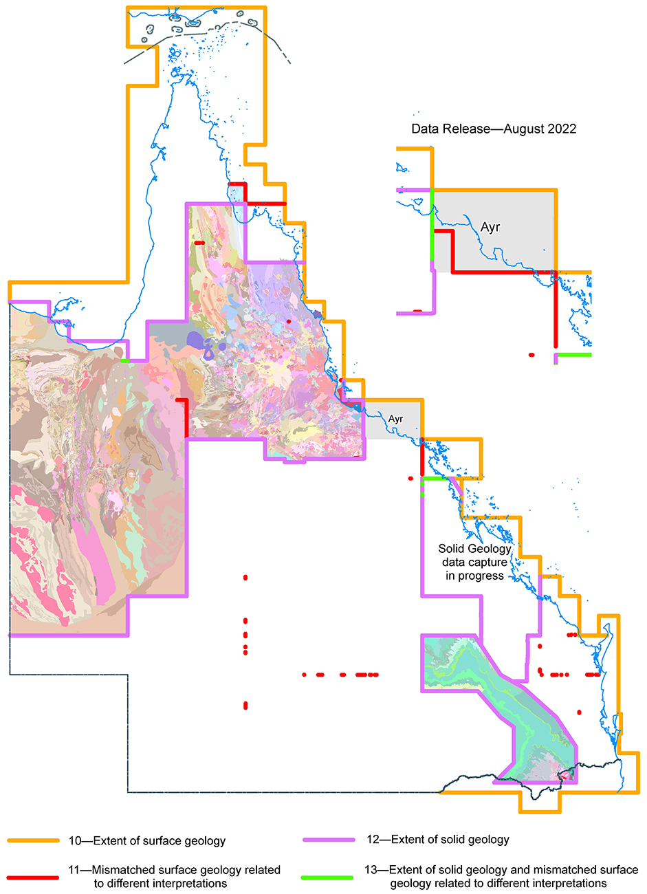
Revised and new geology updates
Proposed updates, September 2023 data release
- Stage 2, Ayr 1:250 000 map sheet area and surrounds revision
- Northeast Drummond Basin revision
- Cloncurry region Central Eastern Fold Belt revision
- Proserpine 1:250 000 map sheet area and surrounds edge matching
Approximate detailed data capture scales
