Summary
In September 2023 the detailed geology data was updated and released into the GeoResGlobe, Queensland Globe, QSpatial Catalogue and open data map service. Details on the contents of this release are provided below.
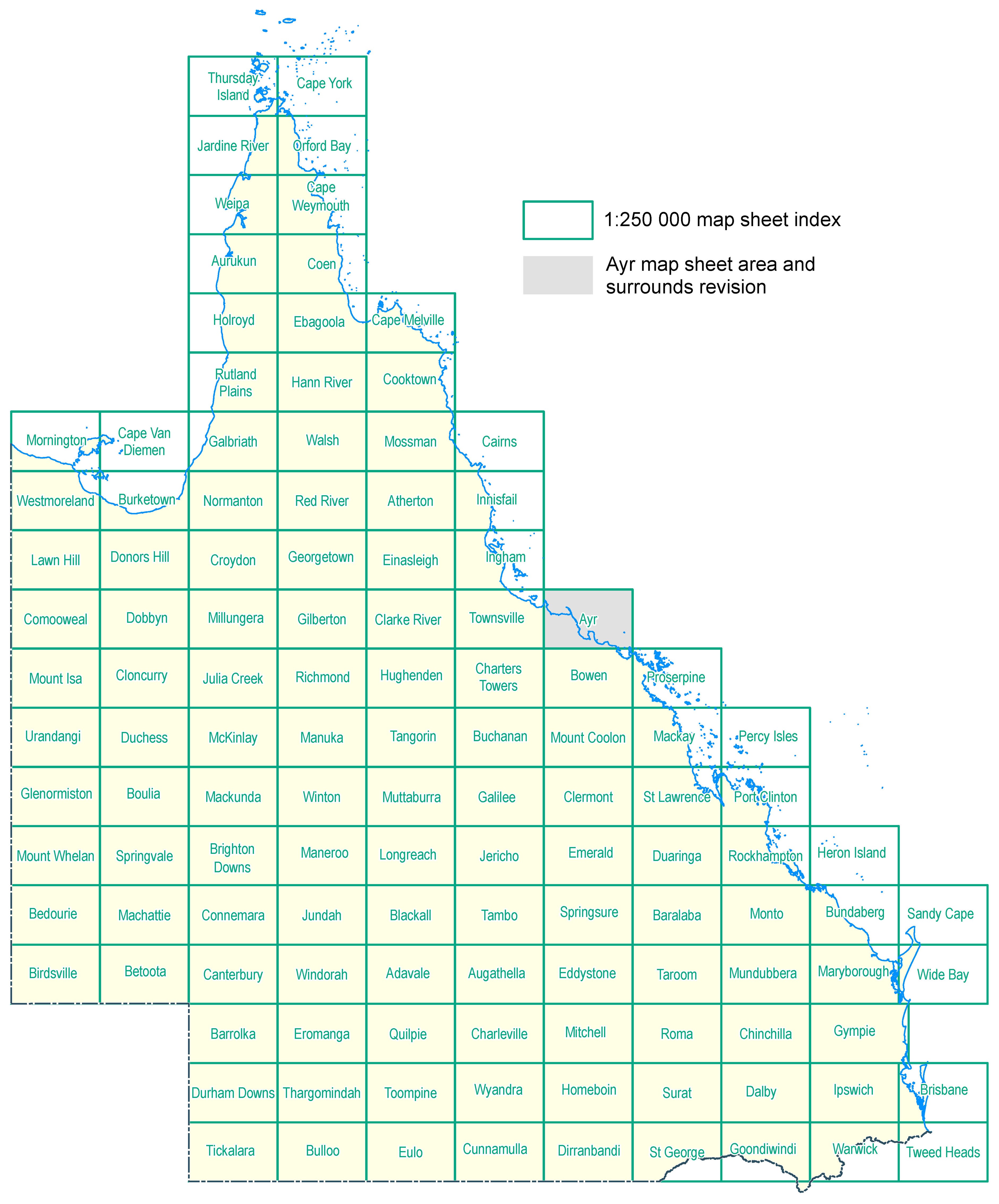
Detailed Surface and Solid Geology Data extents
For more information please refer to the detailed geology data index.
State-wide Detailed Geology Data Capture Project
Ayr 1:250 000 map sheet area and surrounds revision—Stage 2, September 2023 release
This revision of the geology of the Ayr 1:250 000 Sheet area concentrated on the area known as the Burdekin Delta and is based mainly on high-resolution ESRI satellite imagery combined with results of studies by university and other researchers (e.g., Hopley, 1970, Fielding & others, 2005, 2006 and references therein), the majority concluding most of the sediments forming the delta were deposited in the Holocene by the Burdekin River, which changed course at least 13 times. The delta is a major agricultural area with more than 35 000 hectares of sugarcane and other crops. Farming and, to a lesser extent, other activities have resulted in extensive modification of the original landscape. Numerous dams and levees, for example, have been erected to reclaim land and much of the delta is cut by a network of drainage channels. Consequently, boundaries between units are very approximate in many areas and distinguishing the various Cenozoic units is commonly problematic. There was no follow-up field checking as part of the current project. This revision follows on from the previous one of July 2023, which produced a seamless join between the Ayr Sheet area and adjoining sheet areas.
Hopley, D., 1970. The geomorphology of the Burdekin Delta, North Queensland: Townsville, Australia. James Cook University of North Queensland, Department of Geography, Monograph Series, 1, 66 p.
Fielding, C.R., Trueman, J.D. & Alexander, J., 2005, Sedimentology of the modern and Holocene Burdekin River Delta of north Queensland, Australia: controlled by river output, not by waves and tides. In Giosan, L. & Bhattacharya, J. (eds), River Deltas: Concepts, Models and Examples. SEPM, Special Publication 83, 467–496. DOI: https://doi.org/10.2110/pec.05.83.0467
Fielding, C.R., Trueman, J.D. & Alexander, J., 2006. Holocene Depositional History of the Burdekin River Delta of Northeastern Australia: A Model for a Low-Accommodation, Highstand Delta. Journal of Sedimentary Research, 76, 411–428. DOI: https://doi.org/10.2110/jsr.2006.032
Revision 2022–2023 by R.J. Bultitude, Minerals Geoscience, Geological Survey of Queensland, Department of Natural Resources and Mines, Manufacturing and Regional and Rural Development.
Line ID descriptions for data extents
Revised and new geology updates
Proposed updates, March 2024 data release
- Stage 1, Cloncurry region Central Eastern Fold Belt revision
Proposed data releases 2024
- Northeast Drummond Basin revision
- Stage 2, Cloncurry region Central Eastern Fold Belt revision
- Proserpine 1:250 000 map sheet area and surrounds edge matching
- Stage 3, Cloncurry region Central Eastern Fold Belt revision
Approximate detailed data capture scales